Area focuses on the Umpqua River Estuary, bounded by the coastline to the west and Highway 38 to the east
COA ID: 038
Ecoregions
Strategy Habitats
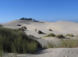
Coastal Dunes
Occurring along the Oregon coastline, coastal dunes provide habitat for species that prefer open, sandy habitats with a high degree of disturbance from winds and tides.
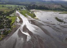
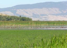
Estuaries
Estuaries occur where freshwater rivers meet the oceanic salty waters, are influenced by tidal flooding, and experience frequent periodic changes in salinity, water levels, sunlight, and oxygen.
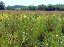
Grasslands
Grasslands include a variety of upland grass-dominated habitats, such as upland prairies, coastal bluffs, and montane grasslands.
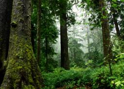
Late Successional Mixed Conifer Forests
Late successional mixed conifer forests provide a multi-layered tree canopy, including large-diameter trees, shade-tolerant tree species in the understory, and a high volume of dead wood, such as snags and logs.
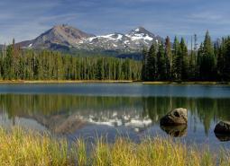
Natural Lakes
Natural lakes are relatively large bodies of freshwater surrounded by land. For the purposes of the Conservation Strategy, natural lakes are defined as standing water bodies larger than 20 acres, including some seasonal lakes.
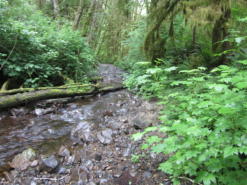
Flowing Water and Riparian Habitats
Flowing Water and Riparian Habitats include all naturally occurring flowing freshwater streams and rivers throughout Oregon as well as the adjacent riparian habitat.
Wetlands
Wetlands are covered with water during all or part of the year. Permanently wet habitats include backwater sloughs, oxbow lakes, and marshes, while seasonally wet habitats include seasonal ponds, vernal pools, and wet prairies.
Strategy Species
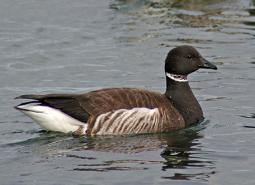
Black Brant (Observed)
Branta bernicla nigricans
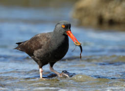
Black Oystercatcher (Modeled Habitat)
Haematopus bachmani
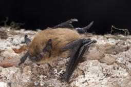
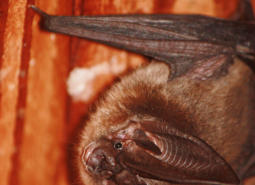
California Myotis (Observed)
Myotis californicus
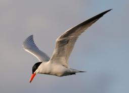
Caspian Tern (Observed)
Hydroprogne caspia
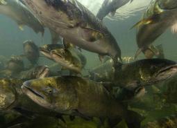
Chinook Salmon (Documented)
Oncorhynchus tshawytscha
Clouded Salamander (Modeled Habitat)
Aneides ferreus
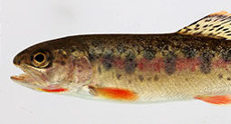
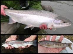
Coastal Cutthroat Trout (Documented)
Oncorhynchus clarki clarki
Coastal Tailed Frog (Modeled Habitat)
Ascaphus truei
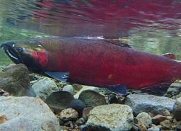
Coho Salmon (Documented)
Oncorhynchus kisutch
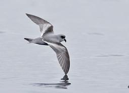
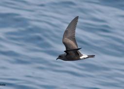
Fork-tailed Storm-Petrel (Modeled Habitat)
Oceanodroma furcata
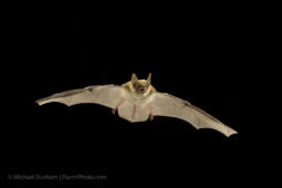
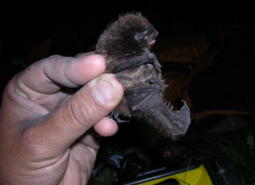
Fringed Myotis (Observed)
Myotis thysanodes
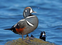
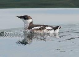
Harlequin Duck (Observed)
Histrionicus histrionicus
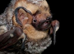
Hoary Bat (Observed)
Lasiurus cinereus
Leach’s Storm-Petrel (Modeled Habitat)
Oceanodroma leucorhoa leucorhoa
Long-legged Myotis (Observed)
Myotis volans
Marbled Murrelet (Observed)
Brachyramphus marmoratus
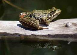
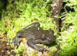
Northern Red-legged Frog (Observed)
Rana aurora
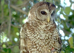
Northern Spotted Owl (Observed)
Strix occidentalis caurina
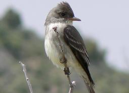
Olive-sided Flycatcher (Observed)
Contopus cooperi
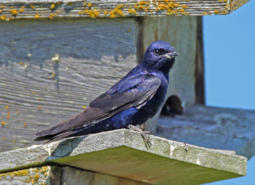
Purple Martin (Observed)
Progne subis arboricola
Red Tree Vole (Modeled Habitat)
Arborimus longicaudus
Silver-haired Bat (Observed)
Lasionycteris noctivagans
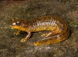
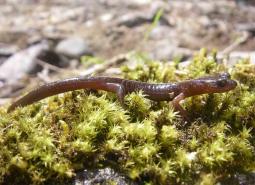
Southern Torrent Salamander (Observed)
Rhyacotriton variegatus
Steelhead / Rainbow / Redband Trout (Documented)
Oncorhynchus mykiss ssp
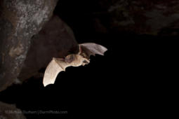
Townsend’s Big-eared Bat (Observed)
Corynorhinus townsendii
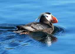
Tufted Puffin (Observed)
Fratercula cirrhata
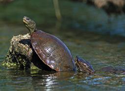
Northwestern Pond Turtle (Observed)
Actinemys marmorata
Northwestern Pond Turtle (Modeled Habitat)
Actinemys marmorata
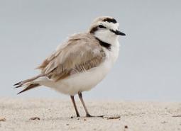
Western Snowy Plover (Observed)
Charadrius nivosus nivosus
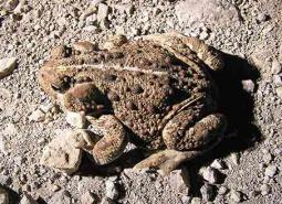
Western Toad (Modeled Habitat)
Anaxyrus boreas