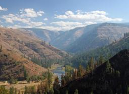
The Malheur River Headwaters COA spans two ecoregions. Within the BM ecoregion, the COA includes Logan Valley and part of the Strawberry Mountain Wilderness and continues south to Battle Mountain (just north of Highway 306). Within the NBR, the COA is comprised of land associated with the Malheur River south of Battle Mountain to approximately one mile above the Warm Springs Reservoir. From west to east the COA includes the northern half of the Stinkingwater Mountains to Carey Tables east of the Malheur River.
COA ID: 180
Ecoregions
Blue Mountains
Located in NE Oregon, the Blue Mountains ecoregion is the largest ecoregion in the state. It provides a diverse complex of mountain ranges, valleys, and plateaus that extend beyond Oregon into the states of Idaho and Washington.
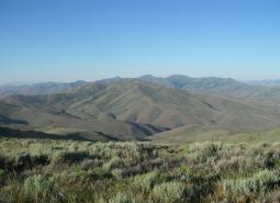
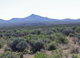
Northern Basin and Range
The Northern Basin and Range ecoregion covers the very large southeastern portion of the state, from Burns south to the Nevada border and from the Christmas Valley east to Idaho. It is largely a high elevation desert-like area dominated by sagebrush communities and habitats.
Strategy Habitats
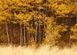
Aspen Woodlands
Aspen woodlands are woodland or forest communities, dominated by aspen trees with a forb, grass, or shrub understory. Aspen woodlands can also occur within conifer forests.
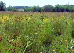
Grasslands
Grasslands include a variety of upland grass-dominated habitats, such as upland prairies, coastal bluffs, and montane grasslands.
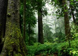
Late Successional Mixed Conifer Forests
Late successional mixed conifer forests provide a multi-layered tree canopy, including large-diameter trees, shade-tolerant tree species in the understory, and a high volume of dead wood, such as snags and logs.
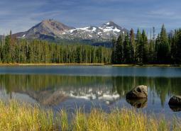
Natural Lakes
Natural lakes are relatively large bodies of freshwater surrounded by land. For the purposes of the Conservation Strategy, natural lakes are defined as standing water bodies larger than 20 acres, including some seasonal lakes.
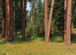
Ponderosa Pine Woodlands
Ponderosa pine woodlands are dominated by ponderosa pine, but may also have lodgepole pine, western juniper, aspen, western larch, grand fir, Douglas-fir, mountain mahogany, incense cedar, sugar pine, or white fir, depending on ecoregion and site conditions. Their understories are variable combinations of shrubs, herbaceous plants, and grasses.
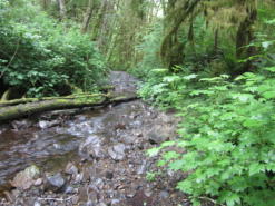
Flowing Water and Riparian Habitats
Flowing Water and Riparian Habitats include all naturally occurring flowing freshwater streams and rivers throughout Oregon as well as the adjacent riparian habitat.
Sagebrush Habitats
Sagebrush habitats include all sagebrush steppe- and shrubland-dominated communities found east of the Cascade Mountains.
Wetlands
Wetlands are covered with water during all or part of the year. Permanently wet habitats include backwater sloughs, oxbow lakes, and marshes, while seasonally wet habitats include seasonal ponds, vernal pools, and wet prairies.
Strategy Species
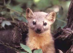
Pacific Marten (Observed)
Martes caurina
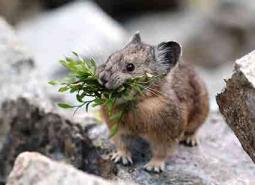
American Pika (Modeled Habitat)
Ochotona princeps
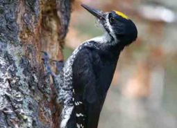
American Three-toed Woodpecker (Modeled Habitat)
Picoides dorsalis
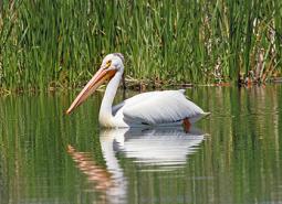
American White Pelican (Observed)
Pelecanus erythrorhynchos
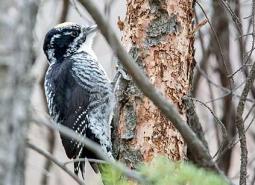
Black-backed Woodpecker (Observed)
Picoides arcticus
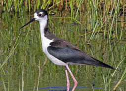
Black-necked Stilt (Observed)
Himantopus mexicanus
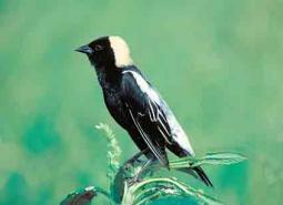
Bobolink (Observed)
Dolichonyx oryzivorus
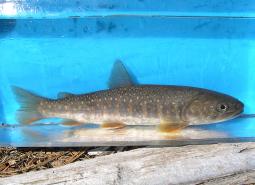
Bull Trout (Documented)
Salvelinus confluentus
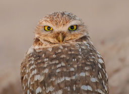
Burrowing Owl (Observed)
Athene cunicularia hypugaea
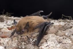
California Myotis (Observed)
Myotis californicus
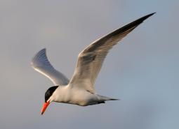
Caspian Tern (Observed)
Hydroprogne caspia
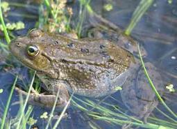
Columbia Spotted Frog (Observed)
Rana luteiventris
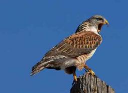
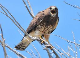
Ferruginous Hawk (Observed)
Buteo regalis
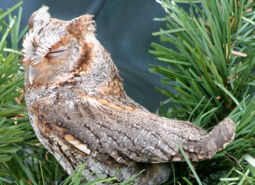
Flammulated Owl (Observed)
Psiloscops flammeolus
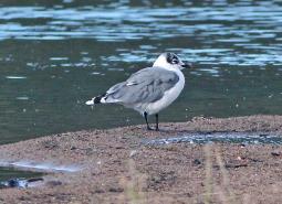
Franklin’s Gull (Observed)
Leucophaeus pipixcan
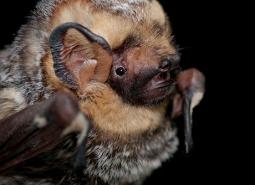
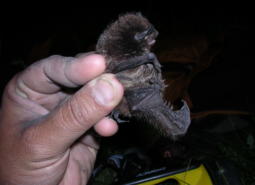
Fringed Myotis (Observed)
Myotis thysanodes
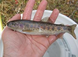
Great Basin Redband Trout (Documented)
Oncorhynchus mykiss newberrii
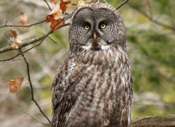
Great Gray Owl (Modeled Habitat)
Strix nebulosa
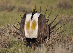
Greater Sage-Grouse (Observed)
Centrocercus urophasianus
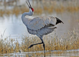
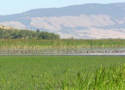
Greater Sandhill Crane (Observed)
Antigone canadensis tabida
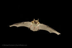
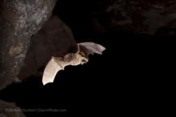
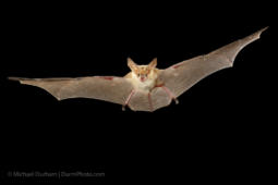
Hoary Bat (Observed)
Lasiurus cinereus
Lewis’s Woodpecker (Observed)
Melanerpes lewis
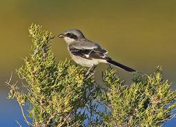
Loggerhead Shrike (Modeled Habitat)
Lanius ludovicianus
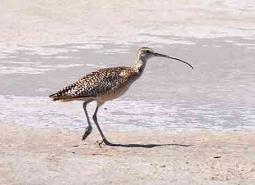
Long-billed Curlew (Observed)
Numenius americanus
Long-legged Myotis (Observed)
Myotis volans
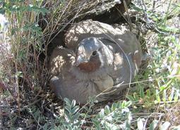
Mountain Quail (Modeled Habitat)
Oreortyx pictus
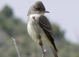
Olive-sided Flycatcher (Observed)
Contopus cooperi
Pallid Bat (Modeled Habitat)
Antrozous pallidus
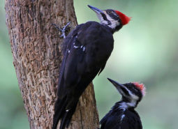
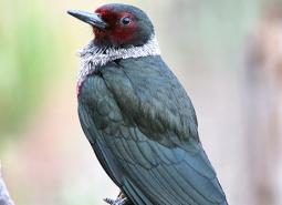
Pileated Woodpecker (Observed)
Dryocopus pileatus
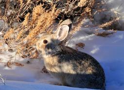
Pygmy Rabbit (Modeled Habitat)
Brachylagus idahoensis
Silver-haired Bat (Observed)
Lasionycteris noctivagans
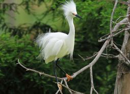
Snowy Egret (Modeled Habitat)
Egretta thula
Swainson’s Hawk (Observed)
Buteo swainsoni
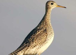
Upland Sandpiper (Observed)
Bartramia longicauda
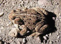
Western Toad (Modeled Habitat)
Anaxyrus boreas
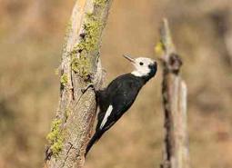
White-headed Woodpecker (Observed)
Picoides albolarvatus
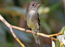
Willow Flycatcher (Observed)
Empidonax traillii
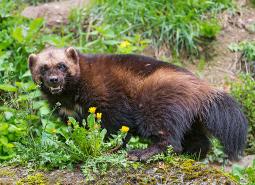
Wolverine (Modeled Habitat)
Gulo gulo