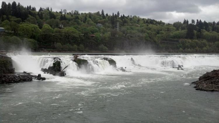
The Willamette River mainstem from the confluence with the Columbia River (RM 0) upstream to Willamette Falls in Oregon City (RM26), its floodplain and adjacent uplands.
COA ID: 059
Ecoregions
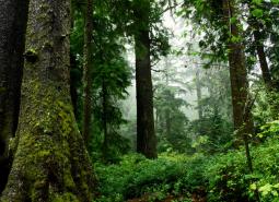
Coast Range
Oregon’s Coast Range, known for its dramatic scenery, is extremely diverse, with habitats ranging from open sandy dunes to lush forests and from tidepools to headwater streams. It follows the coastline and extends east through coastal forest to the border of the Willamette Valley and Klamath Mountains ecoregions
Willamette Valley
The Willamette Valley ecoregion is bounded on the west by the Coast Range and on the east by the Cascade Range. This long mostly level alluvial plain has some scattered areas of low basalt, and contrasts with productive farmland and large urban areas. It has the fastest-growing human population in the state resulting in challenges due to land-use changes.
Strategy Habitats
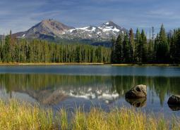
Natural Lakes
Natural lakes are relatively large bodies of freshwater surrounded by land. For the purposes of the Conservation Strategy, natural lakes are defined as standing water bodies larger than 20 acres, including some seasonal lakes.
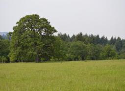
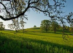
Oak Woodlands
Oak woodlands are characterized by an open canopy dominated by Oregon white oak.
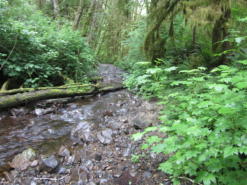
Flowing Water and Riparian Habitats
Flowing Water and Riparian Habitats include all naturally occurring flowing freshwater streams and rivers throughout Oregon as well as the adjacent riparian habitat.
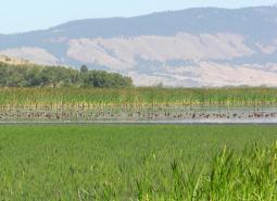
Wetlands
Wetlands are covered with water during all or part of the year. Permanently wet habitats include backwater sloughs, oxbow lakes, and marshes, while seasonally wet habitats include seasonal ponds, vernal pools, and wet prairies.
Strategy Species
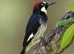
Acorn Woodpecker (Observed)
Melanerpes formicivorus
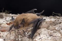
California Myotis (Modeled Habitat)
Myotis californicus
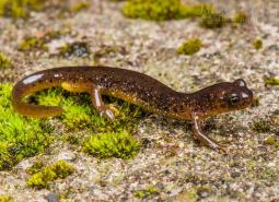
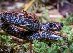
Cascade Torrent Salamander (Modeled Habitat)
Rhyacotriton cascadae
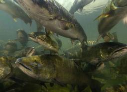
Chinook Salmon (Documented)
Oncorhynchus tshawytscha
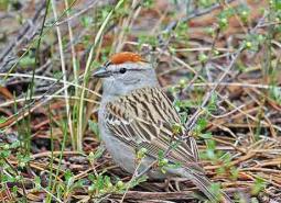
Chipping Sparrow (Observed)
Spizella passerina
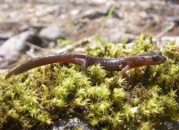
Clouded Salamander (Modeled Habitat)
Aneides ferreus
Coastal Cutthroat Trout (Documented)
Oncorhynchus clarki clarki
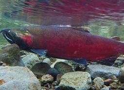
Coho Salmon (Documented)
Oncorhynchus kisutch
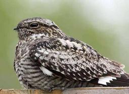
Common Nighthawk (Observed)
Chordeiles minor
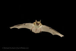
Fringed Myotis (Modeled Habitat)
Myotis thysanodes
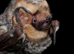
Hoary Bat (Modeled Habitat)
Lasiurus cinereus
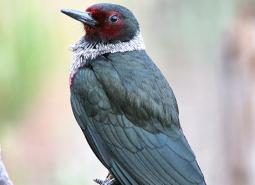
Lewis’s Woodpecker (Observed)
Melanerpes lewis
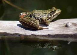
Northern Red-legged Frog (Observed)
Rana aurora
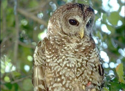
Northern Spotted Owl (Observed)
Strix occidentalis caurina
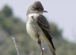
Olive-sided Flycatcher (Observed)
Contopus cooperi
Oregon Slender Salamander (Observed)
Batrachoseps wrighti
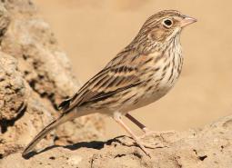
Oregon Vesper Sparrow (Observed)
Pooecetes gramineus affinis
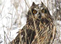
Short-eared Owl (Modeled Habitat)
Asio flammeus flammeus
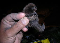
Silver-haired Bat (Observed)
Lasionycteris noctivagans
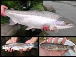
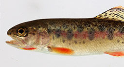
Steelhead / Rainbow / Redband Trout (Documented)
Oncorhynchus mykiss ssp
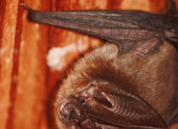
Townsend’s Big-eared Bat (Observed)
Corynorhinus townsendii
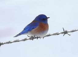
Western Bluebird (Observed)
Sialia mexicana
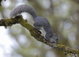
Western Gray Squirrel (Modeled Habitat)
Sciurus griseus
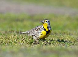
Western Meadowlark (Observed)
Sturnella neglecta
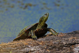
Western Painted Turtle (Observed)
Chrysemys picta bellii
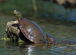
Northwestern Pond Turtle (Observed)
Actinemys marmorata
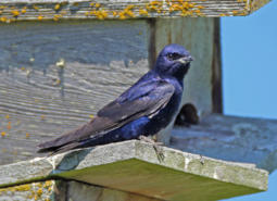
Purple Martin (Observed)
Progne subis arboricola
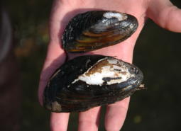
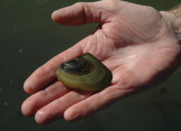
Western Ridged Mussel (Observed)
Gonidea angulata
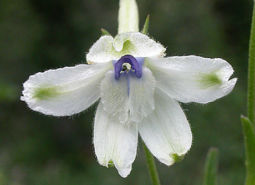
White Rock Larkspur (Observed)
Delphinium leucophaeum
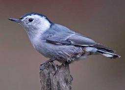
White-breasted Nuthatch (Observed)
Sitta carolinensis aculeata
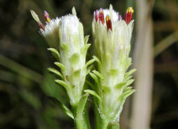
White-topped Aster (Observed)
Sericocarpus rigidus
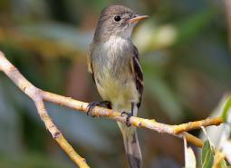
Willow Flycatcher (Observed)
Empidonax traillii
Winged Floater Freshwater Mussel (Observed)
Anodonta nuttalliana
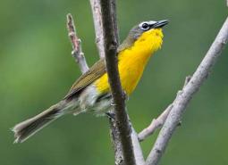
Yellow-breasted Chat (Observed)
Icteria virens auricollis