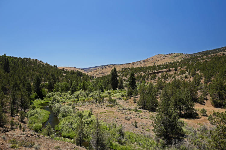
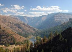
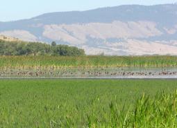
Includes the mainstem John Day River and surrounding high quality fish and wildlife habitat. Southern part of area begins near Silvies River and continues north to the confluence near the town of Kimberly.
COA ID: 171
Ecoregions
Strategy Habitats
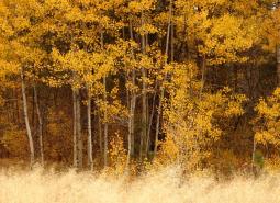
Aspen Woodlands
Aspen woodlands are woodland or forest communities, dominated by aspen trees with a forb, grass, or shrub understory. Aspen woodlands can also occur within conifer forests.
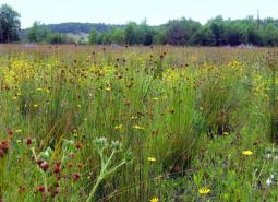
Grasslands
Grasslands include a variety of upland grass-dominated habitats, such as upland prairies, coastal bluffs, and montane grasslands.
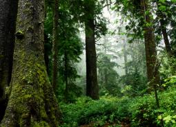
Late Successional Mixed Conifer Forests
Late successional mixed conifer forests provide a multi-layered tree canopy, including large-diameter trees, shade-tolerant tree species in the understory, and a high volume of dead wood, such as snags and logs.
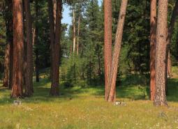
Ponderosa Pine Woodlands
Ponderosa pine woodlands are dominated by ponderosa pine, but may also have lodgepole pine, western juniper, aspen, western larch, grand fir, Douglas-fir, mountain mahogany, incense cedar, sugar pine, or white fir, depending on ecoregion and site conditions. Their understories are variable combinations of shrubs, herbaceous plants, and grasses.
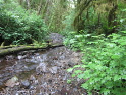
Flowing Water and Riparian Habitats
Flowing Water and Riparian Habitats include all naturally occurring flowing freshwater streams and rivers throughout Oregon as well as the adjacent riparian habitat.
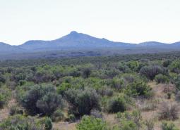
Sagebrush Habitats
Sagebrush habitats include all sagebrush steppe- and shrubland-dominated communities found east of the Cascade Mountains.
Wetlands
Wetlands are covered with water during all or part of the year. Permanently wet habitats include backwater sloughs, oxbow lakes, and marshes, while seasonally wet habitats include seasonal ponds, vernal pools, and wet prairies.
Strategy Species
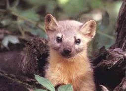
Pacific Marten (Observed)
Martes caurina
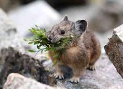
American Pika (Modeled Habitat)
Ochotona princeps
Arrow-leaf Thelypody (Observed)
Thelypodium eucosmum
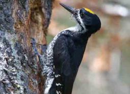
Black-backed Woodpecker (Observed)
Picoides arcticus
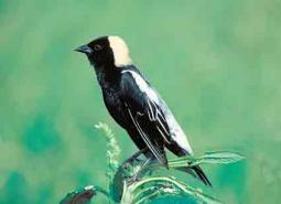
Bobolink (Modeled Habitat)
Dolichonyx oryzivorus
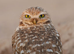
Burrowing Owl (Observed)
Athene cunicularia hypugaea
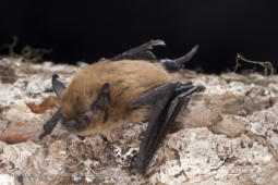
California Myotis (Observed)
Myotis californicus
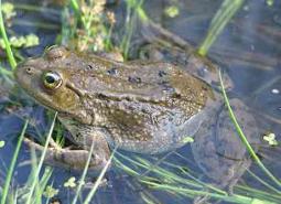
Columbia Spotted Frog (Observed)
Rana luteiventris
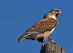
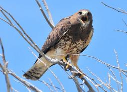
Ferruginous Hawk (Observed)
Buteo regalis
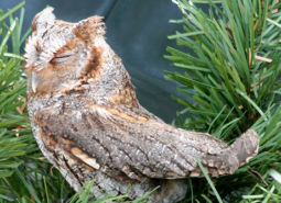
Flammulated Owl (Observed)
Psiloscops flammeolus
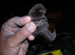
Fringed Myotis (Observed)
Myotis thysanodes
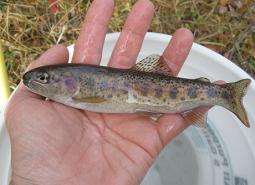
Great Basin Redband Trout (Documented)
Oncorhynchus mykiss newberrii
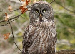
Great Gray Owl (Observed)
Strix nebulosa
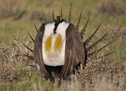
Greater Sage-Grouse (Observed)
Centrocercus urophasianus
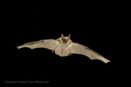
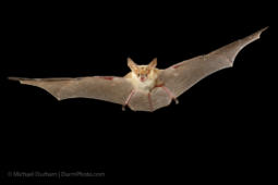
Hoary Bat (Observed)
Lasiurus cinereus
Lewis’s Woodpecker (Observed)
Melanerpes lewis
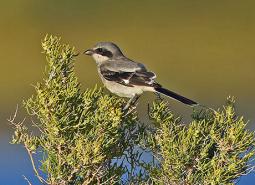
Loggerhead Shrike (Observed)
Lanius ludovicianus
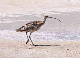
Long-billed Curlew (Observed)
Numenius americanus
Long-legged Myotis (Observed)
Myotis volans
Olive-sided Flycatcher (Observed)
Contopus cooperi
Pallid Bat (Observed)
Antrozous pallidus
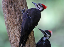
Pileated Woodpecker (Observed)
Dryocopus pileatus
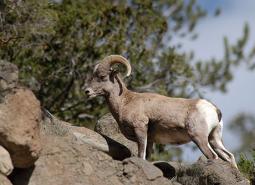
Rocky Mountain Bighorn Sheep (Observed)
Ovis canadensis canadensis
Silver-haired Bat (Observed)
Lasionycteris noctivagans
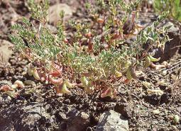
South Fork John Day Milkvetch (Observed)
Astragalus diaphanus var. diurnus
Spotted Bat (Observed)
Euderma maculatum
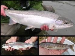
Steelhead / Rainbow / Redband Trout (Documented)
Oncorhynchus mykiss ssp
Swainson’s Hawk (Observed)
Buteo swainsoni
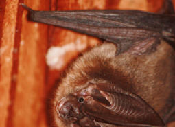
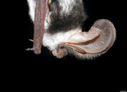
Townsend’s Big-eared Bat (Observed)
Corynorhinus townsendii
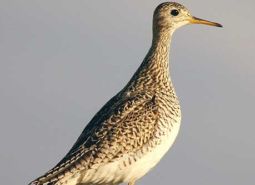
Upland Sandpiper (Observed)
Bartramia longicauda
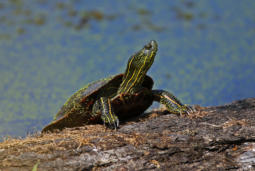
Western Painted Turtle (Modeled Habitat)
Chrysemys picta bellii
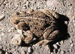
Western Toad (Observed)
Anaxyrus boreas
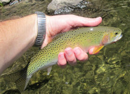
Westslope Cutthroat Trout (Documented)
Oncorhynchus clarki lewisi
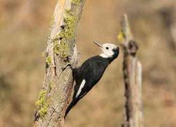
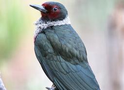
White-headed Woodpecker (Observed)
Picoides albolarvatus
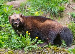
Wolverine (Observed)
Gulo gulo