The watershed for the Metolius River, a designated Wild and Scenic River, is located in the Metolius River Conservation Opportunity Area. The Metolius Watershed is relatively undeveloped, with large blocks of federal and tribal land comprising approximately 94% of the land base. Cold, spring-fed streams characterize the watershed. The Metolius River and its tributaries support redband trout, bull trout, spring Chinook salmon, and kokanee (land-locked sockeye salmon). Notably, one of Oregon’s two historic kokanee runs originated in Suttle Lake, which connects to the Metolius River via Lake Creek. Overarching goals in the watershed are to protect existing high-quality habitat, remove barriers to fish migration, and restore riparian areas impacted by residential development.
A strong partnership coupled with the availability of longer-term funding has facilitated the accomplishment of several large-scale projects in the watershed. The Deschutes Partnership consisting of the Upper Deschutes Watershed Council (UDWC), Crooked River Watershed Council, Deschutes Land Trust, and the Deschutes River Conservancy came together in 2005. Three-years later, Oregon Watershed Enhancement Board’s (OWEB) Deschutes Special Investment Partnership (Deschutes SIP) formed taking advantage of the Partnership, the availability of other funding, and complementary work in the watershed to make progress towards achieving the identified goals.
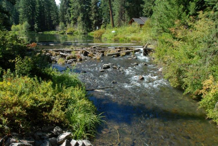
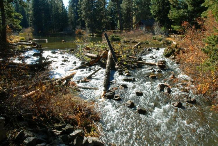
In 2010, the Forest Service (USFS) and UDWC led a project to replace large woody material that had been taken out of the Metolius River for erosion control during log drives and for boater safety. The removal of large wood decreased the availability of important habitat features required for Chinook salmon spawning and rearing. A total of 684 logs and whole trees were placed along an 11 mile stretch of the river. Effectiveness monitoring conducted by the USFS shows that densities of Chinook salmon are up to three times higher in sites with large wood compared to sites without added wood.


In 2013, the USFS and UDWC teamed up again to provide fish passage at the dam at the mouth of Lake Creek at Suttle Lake. A concrete dam was constructed in the 1960’s to stabilize lake levels in Suttle Lake. The dam was a final barrier for sockeye salmon to return to the lake to spawn. The project was designed by a USFS team. The project constructed a riffle at the location of the dam to provide passage for all life stages of fish, constructed an island, placed log jams to protect against erosion and replanted riparian species. The construction of fish passage to Suttle Lake provides kokanee access to the habitats needed throughout their life cycle.